Surveying and Mapping
- Home
- Surveying and Mapping
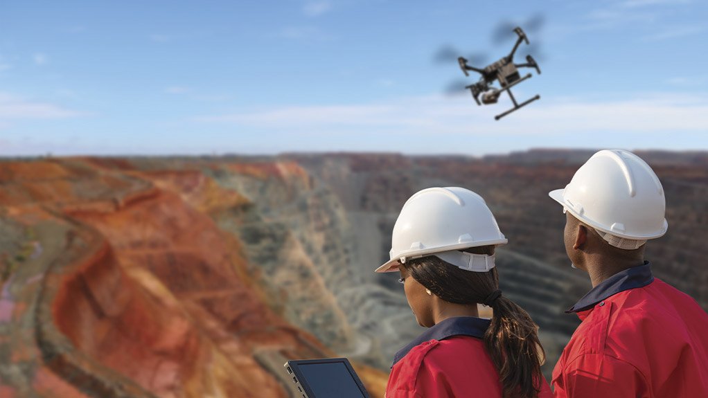
Accurate surveying and mapping are fundamental to the success of any land development, construction, or infrastructure project. Aerotech Drones provides comprehensive surveying and mapping services using drones that are equipped with the latest in imaging technology, including LiDAR and photogrammetry. Our drones can quickly and accurately capture detailed topographical data, in order to create 3D models, and generate precise maps. This data is essential for planning, design, and construction, enabling you to make informed decisions and optimize project outcomes. Our surveying and mapping services are faster, more accurate, and more cost-effective than traditional methods, making them ideal for a wide range of applications.
Other Services
- Aerial Inspection
- Emergency Response
- Environmental Monitoring
- Asset Monitoring
- Mining Hazard Identification
Elevate Your Operations Today!
Let’s discuss how our innovative solutions can meet your specific needs. Reach out to our expert team today and start transforming your operations with Aerotech Drones. Whether you need precise inspections, hazard identification, or comprehensive environmental monitoring, we’re here to deliver exceptional results that drive your success.